ABU DHABI
INTERNATIONAL AIRPORT GUIDE 
Airport facilities located at each Abu Dhabi AUH airport terminalContact details and location of airlines at Abu Dhabi AUH airportAirport transfers, taxis and public transport to Abu Dhabi AUH airport
Abu Dhabi AUH airport map and Abu Dhabi area mapBook a hotel near Abu Dhabi AUH airport
GETTING THERE
GETTING FROM
AT THE AIRPORT

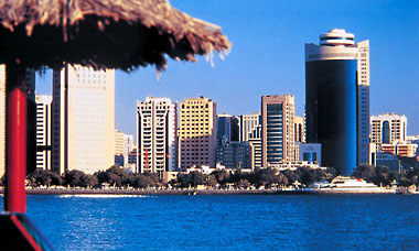
Abu Dhabi Maps and Directions

Abu Dhabi Area Map

Abu Dhabi Area Map


Driving Directions

Khaleej Al Arabi (Highway 30), Sheikh Rashid Al Maktoum Street (Highway 2) and Salam Street (Highway 8) merge onto a central highway, which leads directly to the Abu Dhabi International Airport terminal drive.

Found this useful? Why not share it with your friends...

Featured Hotels
     
18.6mi from airport
More Info »
     
19.0mi from airport
More Info »
     
21.8mi from airport
More Info »

BOOK FLIGHTS
CAR RENTAL
HOTELS

Email News

Sign up to receive the latest offers

Sign up »


Please note: The term Abu Dhabi International Airport AUH as well as all associated graphics, logos, and/or other trademarks, tradenames or copyrights are the property of the Abu Dhabi Airport authority and are used herein for factual descriptive purposes only. We are in no way associated with or authorized by the Abu Dhabi Airport authority and neither that entity nor any of its affiliates have licensed or endorsed us.